|
|
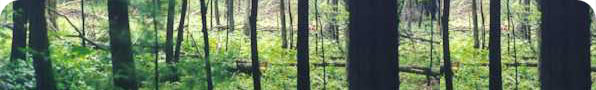
GLOBAL POSITIONING SYSTEM
(GPS) AND FOREST MAPPING:These
detailed topographic maps and GPS will help identify forest roads, home sites, well sites,
wetlands, boundary lines, timber types, and many other forest activities that may need
mapped for future reference. |